
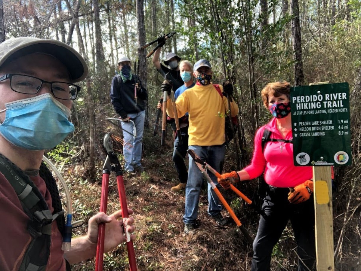
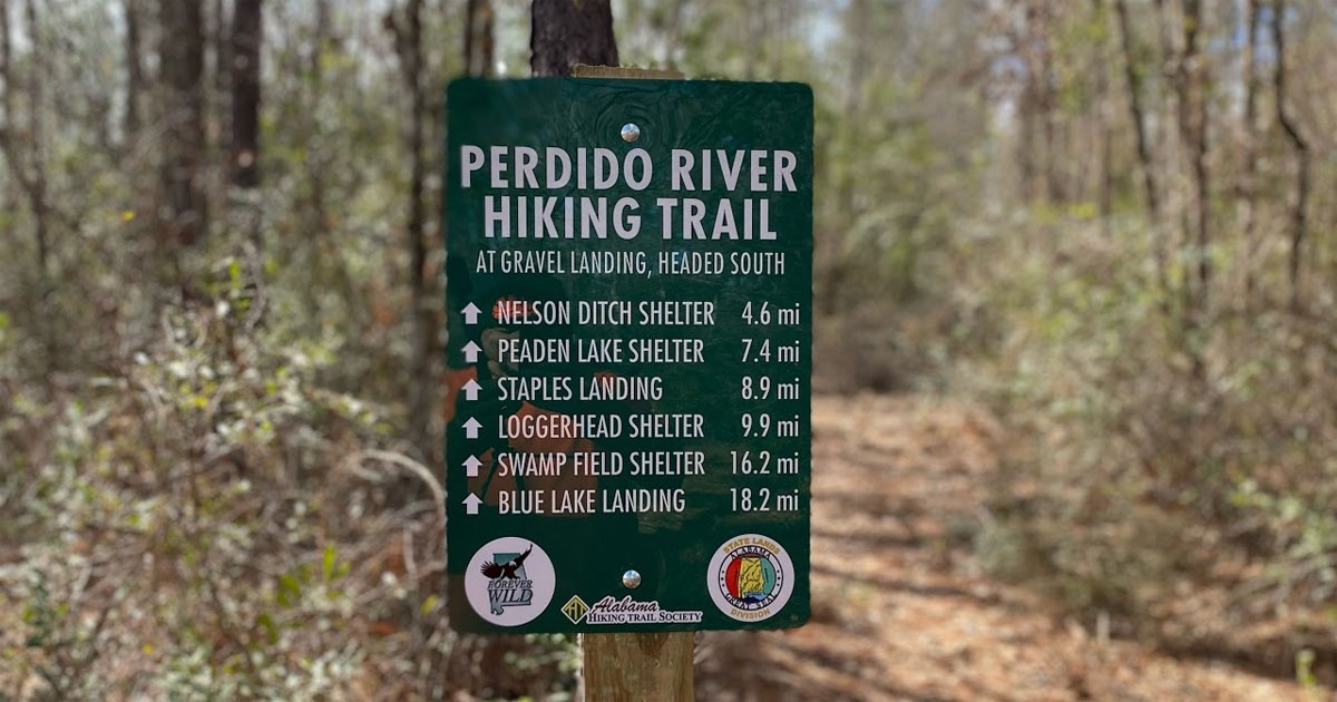
Gulf Coast Chapter adds new mileage signs to the Perdido River Hiking Trail

The work would not have been possible without the help of Condé Systems, Forever Wild and the State Lands Division. The president of Condé Systems in Mobile, AL, David Gross, freely offered the graphic design work needed to make the signs, and coordinated with Universal Woods in Louisville, LY to have the metal donated. Several iterations of engineering design went into the signs to ensure that they are aesthetically pleasing and minimizing any potential damage from ultra-violet (UV) light. Using sublimation technology developed by Condé Systems, the metal signs are incredibly resistant against UV damage and vandalism, since the printed ink is bonded underneath the surface of the metal through the sublimation process.
The Alabama Hiking Trail Society thanks Evan Lawrence with the State Lands Division for his support of the development of the signs, and the State Lands Division Communications and Marketing team for their support of receiving the logos for the signs.
The signs were installed at the following locations:
Gravel Landing (trail going south)
GPS Location: 30.78324, -87.55234
Staples Fork Landing (trail going north)
GPS Location: 30.71603, -87.48605
Staples Fork Landing (trail going south)
GPS Location: 30.71605, -87.48588
Blue Lake Landing (trail going north)
GPS Location: 30.65819, -87.40459
If you would like to volunteer with the Alabama Hiking Trail Society, get newsletters from the group by adding your email Hike Alabama.